Well, despite the best intentions we have failed to keep the blog updated for over a year so this is where the catch-up starts! We could blame COVID but everyone blames that for everything that doesn’t work right anymore…mail, stores, restaurants, pubs, travel etc etc.
Anyway, while the walls of the house were up and it looked like a couple of months where no big decisions would be needed we decided to take another road trip. This time we planned a trip around all the areas of the South Island we hadn’t had a chance to visit yet.
It turned out this was a good move as the pandemic had put an end to all overseas tourists so the really good places to visit were not infested with tour buses, backpackers and other types which tend to block the roads and the best views! It also meant that accommodation was easy to find and locals were really pleased to see a visitor!
We basically ‘winged-it’ as far as planning – just booking ahead the day we decided to travel once we know what the weather would be like and what we wanted to see that day.
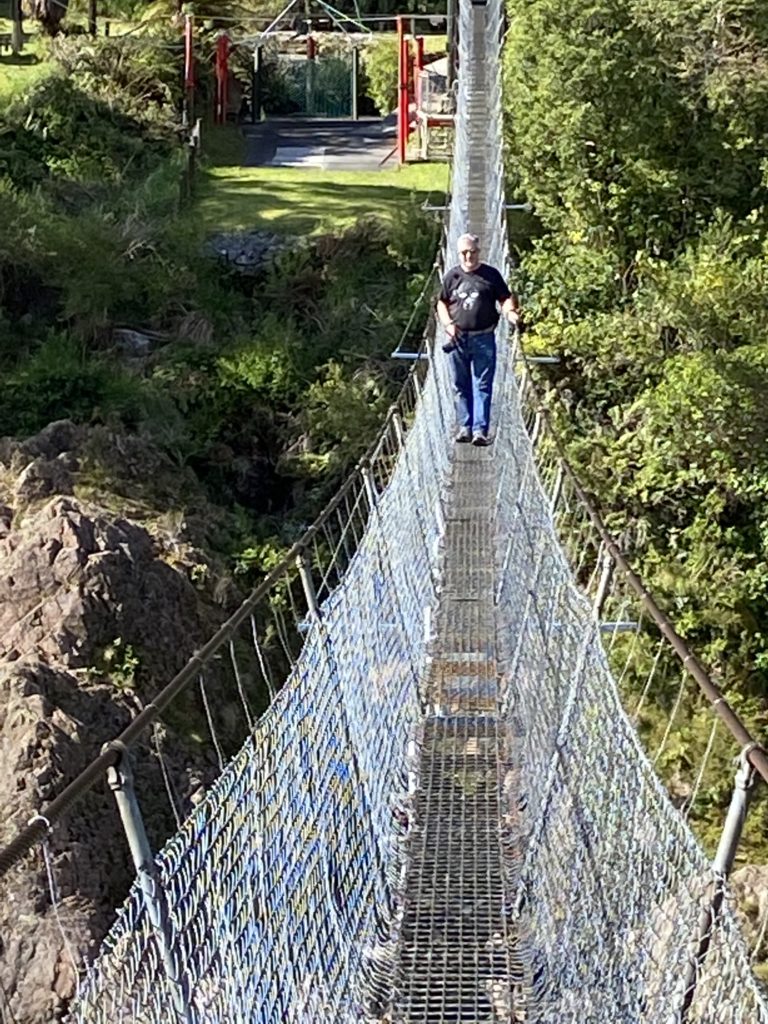
After the ferry trip from Wellington to Picton (see Queen Charlotte Sounds photos in previous travel blog page) we headed West through Murchison to Westport then down the coast with a stop on the way to explore the Buller Gorge historic gold mining area.
A great place with the suspension bridge shown here built in 1923. As we have found, Kiwi’s seem have a deep-seated need to throw themselves off anything high with a rubber band around their ankles, this place is no different! Buller River Gorge started off as gold diggings, now an adventure activity location. A fun stop on the middle of nowhere.
The whole West Coast of the South Island is a beautiful and isolated area. The people that live there – “Westies” – hold themselves to be rugged and self-sufficient and they certainly are! Super friendly people, they are always ready to help each other in times of hardship. Its a fairly wild area too, with some wicked weather which often results in significant flooding. As there is really only one road along the coast many of the communities get cut off for weeks or months due to landslides and bridge washouts.
The climate guides for the West Coast list the wet months as January through December. Most of the coast gets an average of 72 inches of rainfall (yes, 6 feet) per year, spread pretty evenly across each month. The wettest area being Fjiordland in the southwest with a pretty scary 315 inches per year…yup, 26 FEET of rain. One of the wettest places on earth. more on that later.
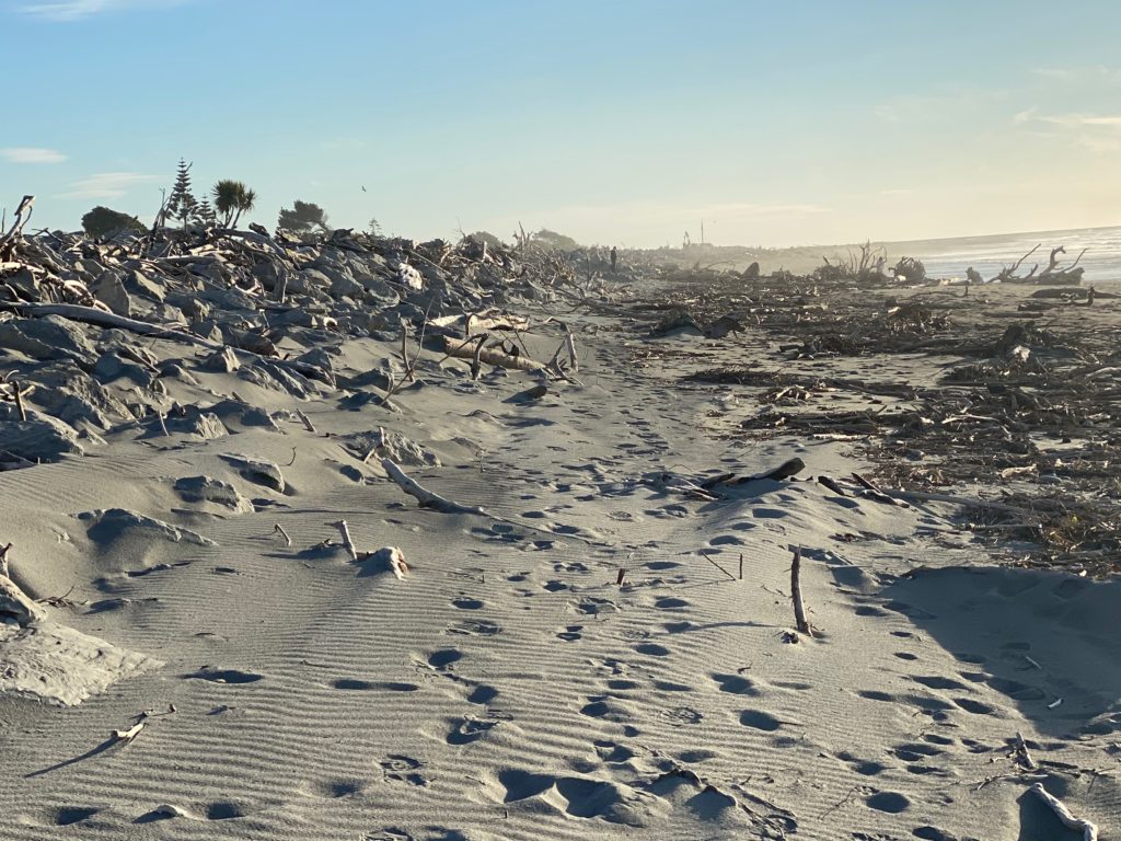
Midway down the coast is Hokitika. It is sandwiched between the ocean and the alps and hosts an annual driftwood sculpture contest. As you can see, there is no shortage of driftwood! This lot cam ashore in the storms over the winter.
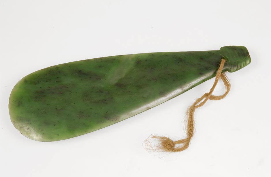
The town is also famous for the green jade found in the rivers and used to carve pendants and other such nice things. It was also used to carve war clubs or ‘patu’ which were used by tribal chieftains in battle.
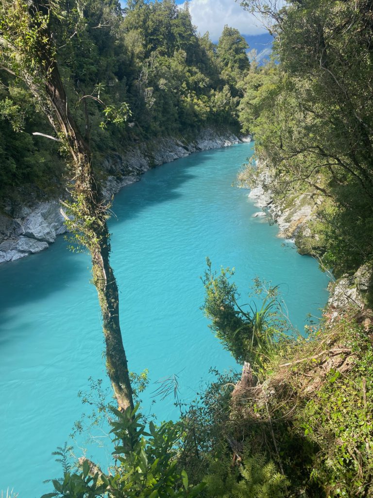
There are some great hikes and places to visit around this area too. We went inland a little way to a place called Kokotahi with some great walking trails and amazing views of rivers coming down straight off the peaks of the Southern Alps. The colour of the water is amazing, coming out of the glaciers which are not far away. Walking though rainforest and looking up through the gaps in the canopy to the snowline of the mountains above (when not in cloud!) is wonderful.
After Hikitika it’s off down the coast to see the glaciers for ourselves. First stop is Franz Joseph. The bridge here had just been reopened after being washed away in the winter. This little town would normally be packed with tourists at this time of year but we had it pretty much to ourselves.
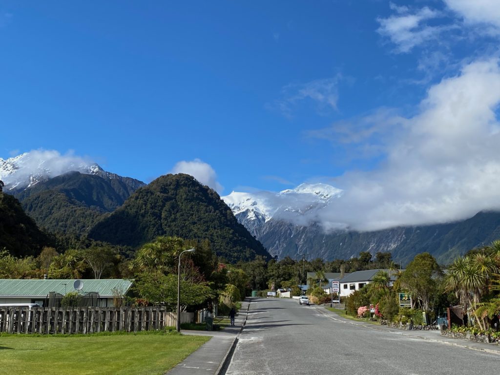
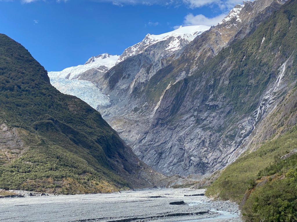
We took a beautiful hike up along the river to a point where we could see the foot of the Franz Joseph glacier. Sadly, it has retracted way back up its valley and can no longer be reached on foot as you would have to go up the riverbed and the department of conservation has barriers up due to the danger of flash floods. Of course, you can get up there by helicopter if you want!
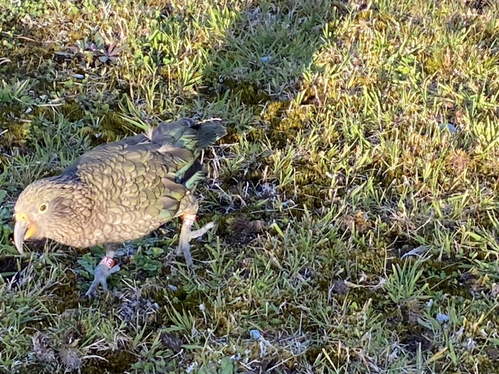
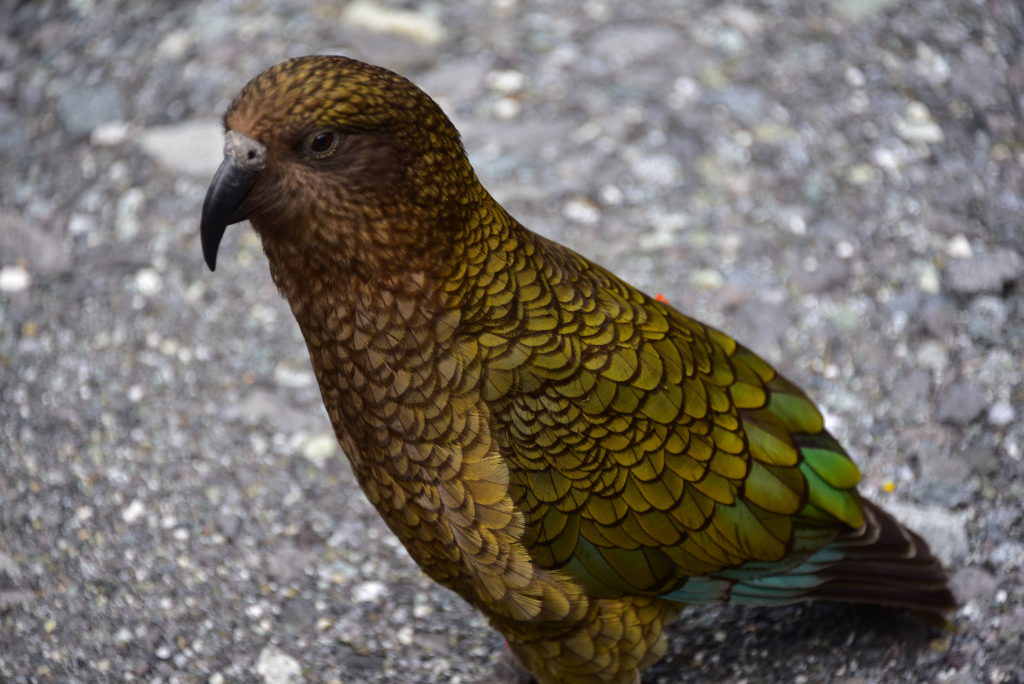
The highlight of this trip for Linda though was her encounter with the local hooligans – Kea’s. These are the Alpine parrot native to these parts. Incredibly intelligent and inquisitive, they often waddle up to people to see what is going on. Linda ran into a couple of them just around the corner from our hotel and had a great time with them as they played on the grass. This one is heading for her shoelaces…
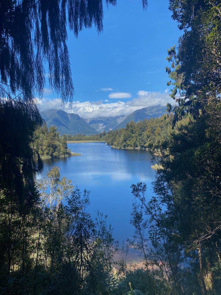
Moving a short way south to Fox Glacier, we had a brief visit to Lake Matheson. Another stunning walk, this time around the lake with views of Mt Cook and Mt Tasman.
After leaving the West Coast at Haas, its up and over the Haast Pass to Wanaka. Sitting at the end of a lake, this town serves as the base for many ski-fields and mountain biking trails. This place has great character and some terrific restaurants. In fact, one of the better Mexican restaurants we have found (other than our favourite – Mexicali – in Rotorua).
We spend a couple of nights here exploring the area as it provides great access to all of central Otago. The weather had turned a bit grey and overcast but it was still quite warm.
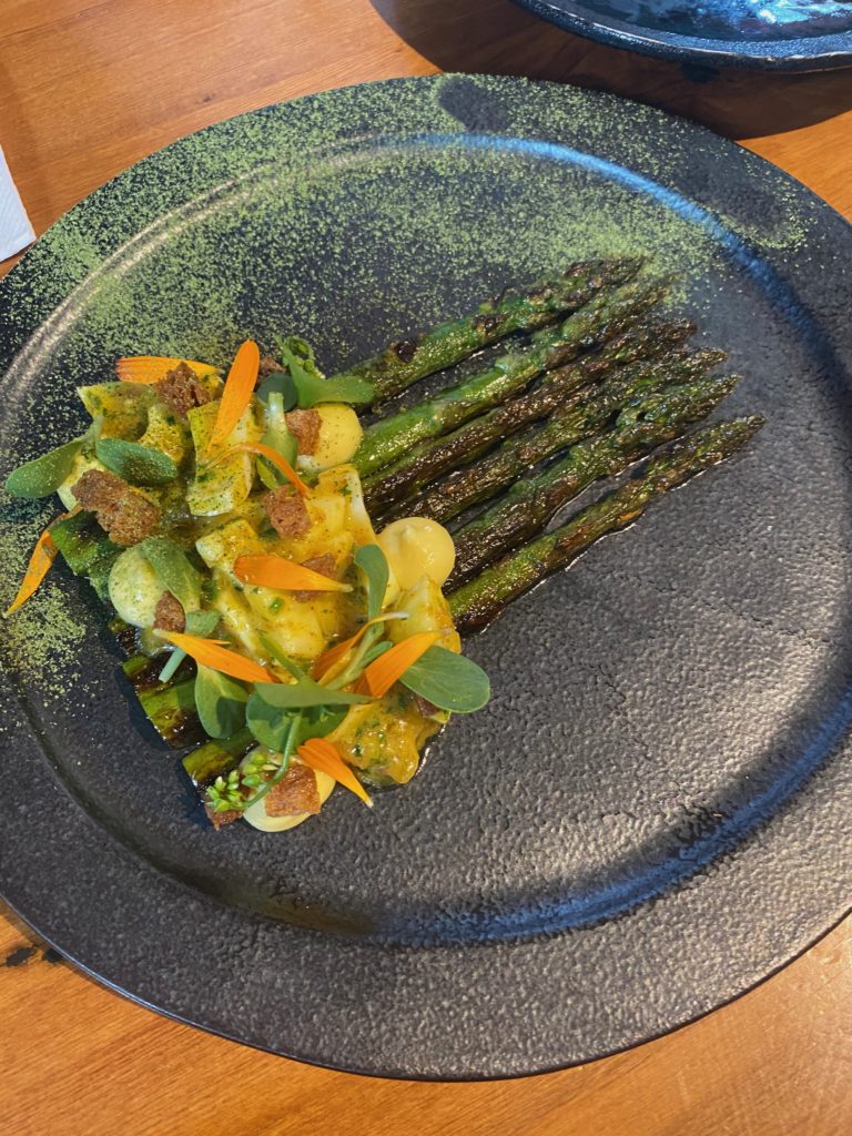
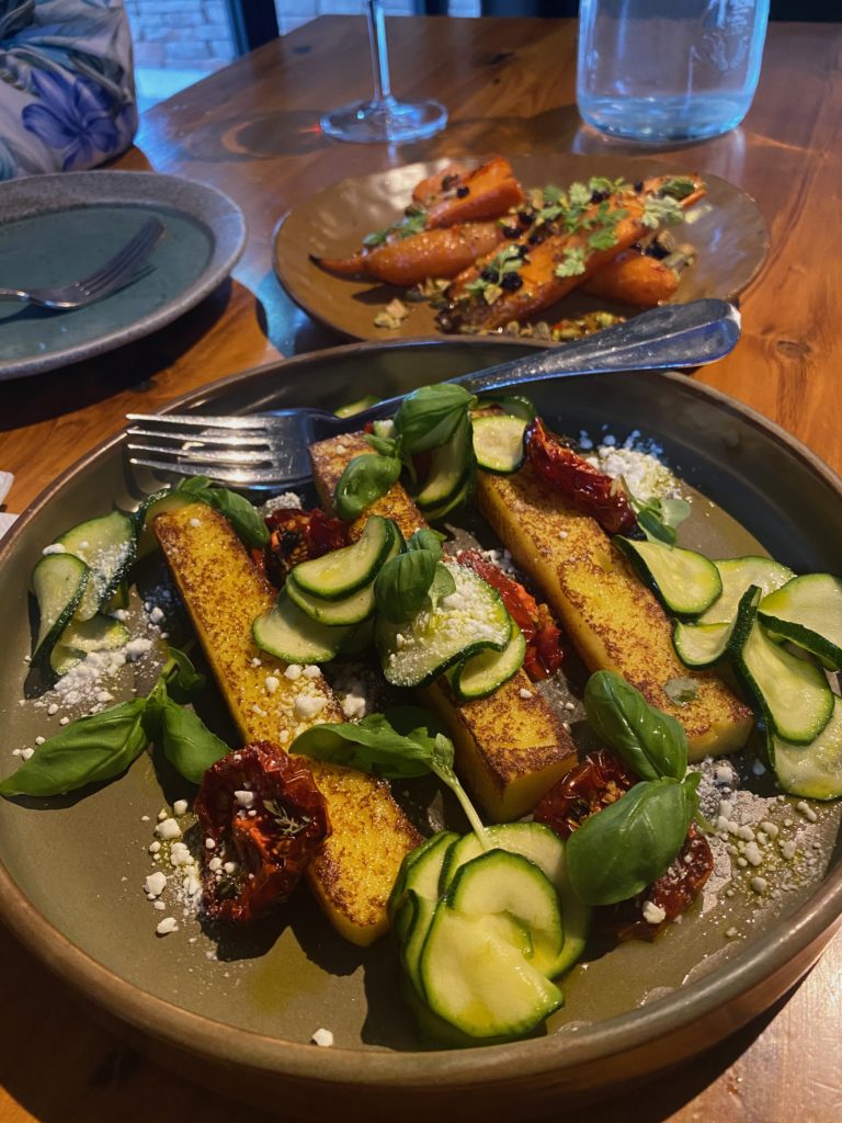
Gratuitous food photos…..
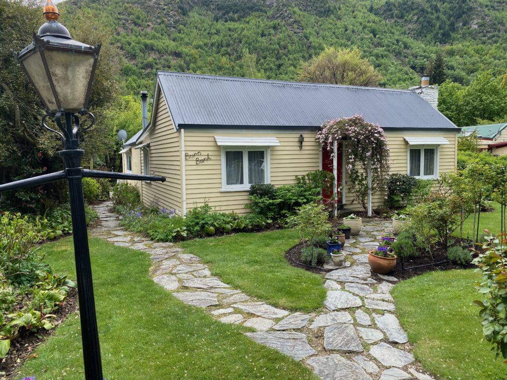
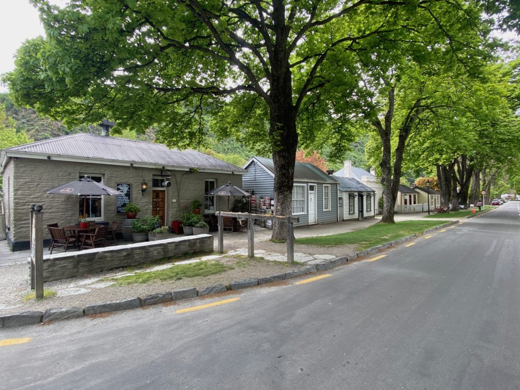
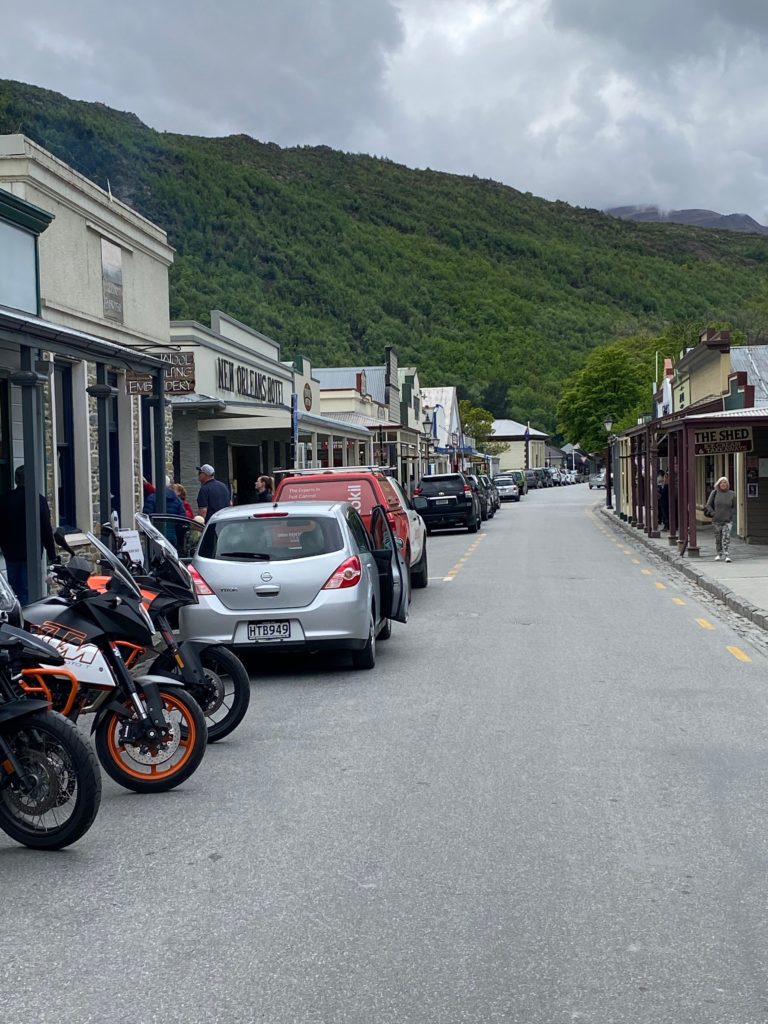
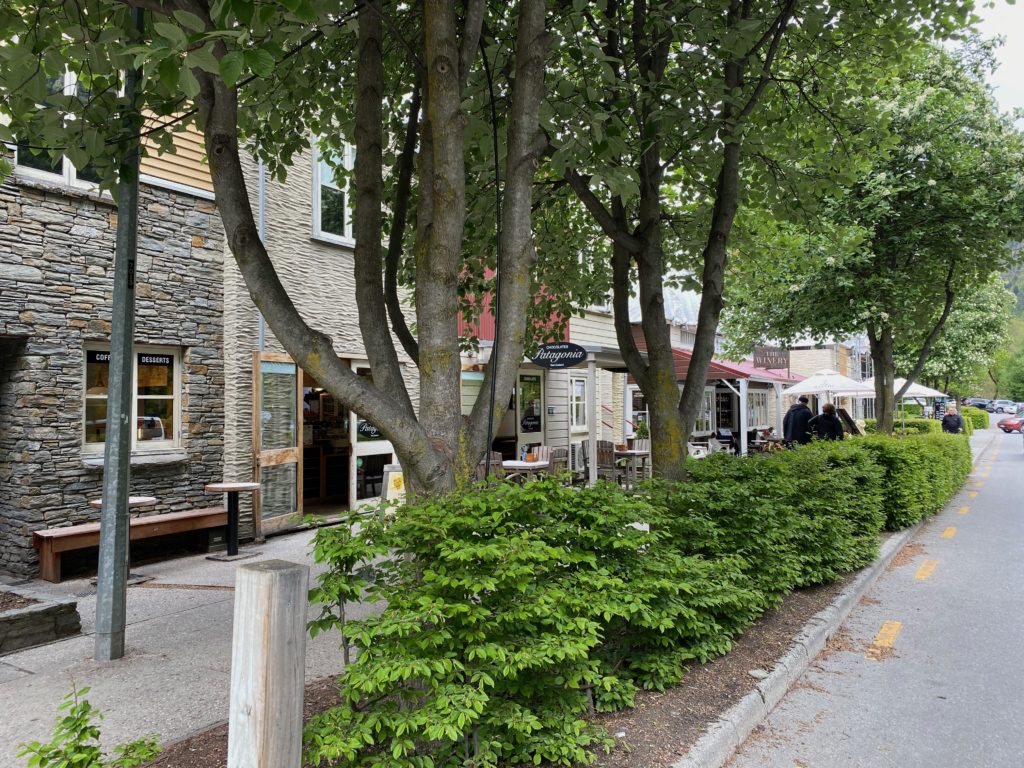
After Wanaka, it’s off to the big city…Queenstown. Not a long drive and over some lovely mountains including the Cardrona ski area, we dropped down into Arrowtown. This little town has been maintained in something close to its original style. Beautiful cottages and shops – mostly boutiques these days – but great character. An absolute must see if passing this way!
On to Queenstown. It was quiet when we passed through, we decided to just have a look around and move on treating it more as a scouting visit than anything else. If you are in to adventure sports Queenstown seemingly has it all: jet boats, bungy jumping (of course!), skiing, mountain biking, climbing, hiking, sailing etc etc. If, like us, you are into more sedate pastimes these days, the golf there is pretty good too!
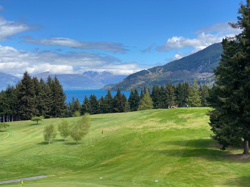
From Queenstown we traveled on to our next destination – Te Anau. This is the gateway to Fjiordland. It sits on the shore of Lake Manapouri, This place is amazing. It is in the Fjiordland National Park and is the starting point for several classic long walks including the Milford Track and the Kepler Track. Both these are multi-day walks requiring booking to get accommodation in the Department of Conservation huts along the way.
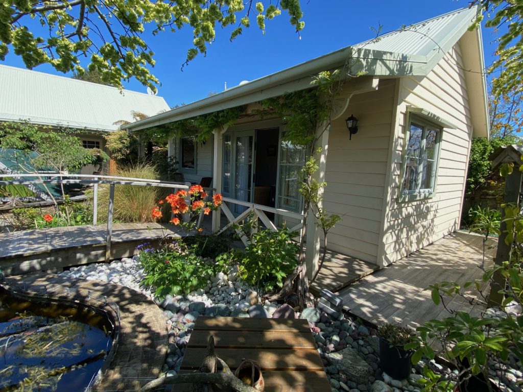
We chose to stay in cute B&B in Te Anau, a short walk from the town centre. A private cottage with its own Japanese bridge outside in a lovely garden setting.
We were here to visit the Sounds though. Both Milford and Doubtful sounds are accessed from Te Anau. We chose the Doubtful sound first which involves a boat trip along Lake Manapouri followed by a coach ride over the pass to Doubtful Sound, then a boat trip on the Sound. Followed of course by the return journey!
We took the day cruise around Doubtful Sound, there is also a fun sounding overnight cruise option which we will probably do in the future. Although Milford Sound is better known (accessible by car and bus) Doubtful is much bigger and just as impressive. The boat tour was great, visiting several branches off the main fjiord. When we visited the weather was warm and clear, apparently after rain the waterfalls down the sheer cliffs are pretty amazing too.
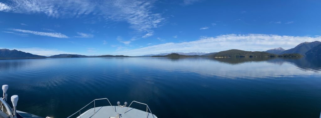
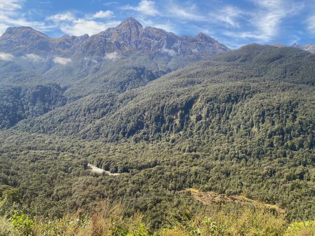
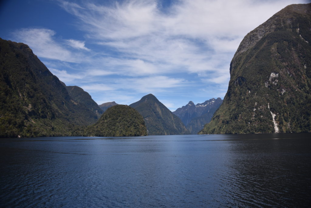
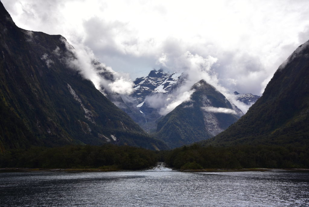
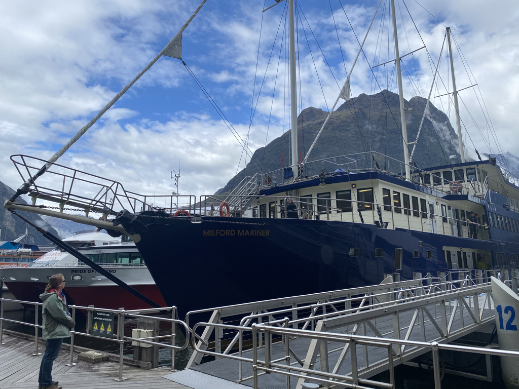
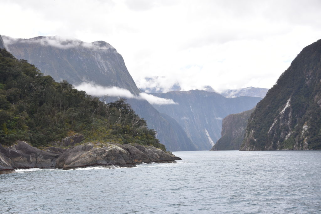
Next stop – Milford Sound. Another beautiful drive from Te Anau to Milford crossing through the bottom end of the Alps. Most tourists do this trip by coach from Te Anau or Queenstown. Due to COVID there were no buses running. When we got to Milford we pretty much had the place to ourselves. The coach terminal has space for 28, they were all empty. Hard on the tour companies but wonderful for us!
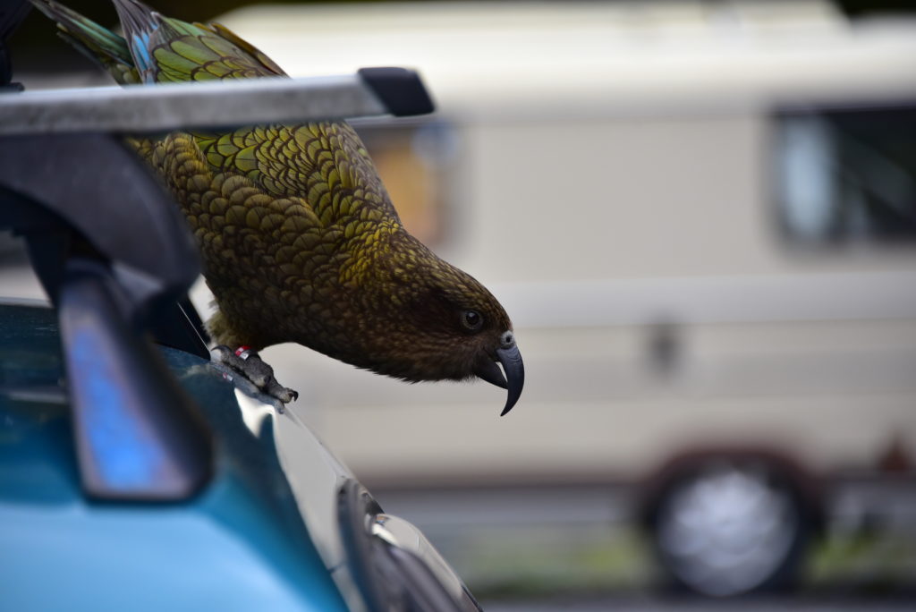
On the trip back we stopped to look for Kea and ran into this inquisitive chap. Luckily he was more interested in disassembling another car! They have a reputation for removing anything they can: windshield wipers, aerials, window seals, bags, food etc! According to the Kea Database, this fellas name is Dennis.
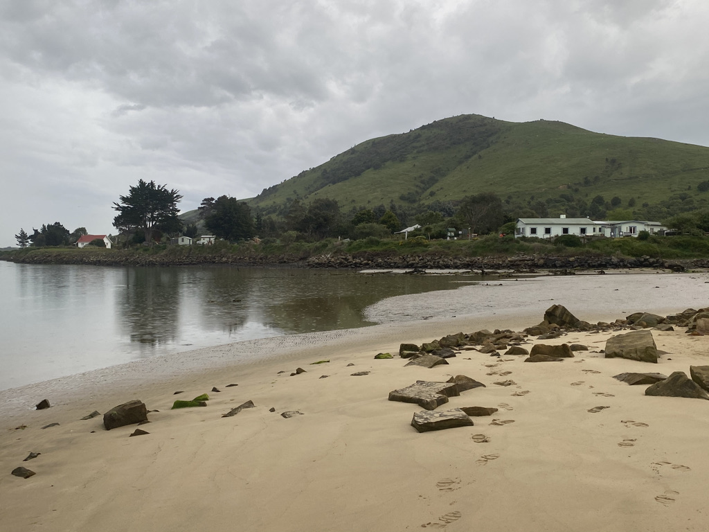
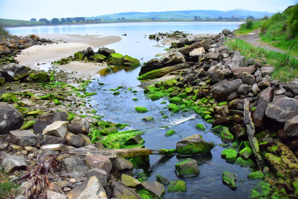
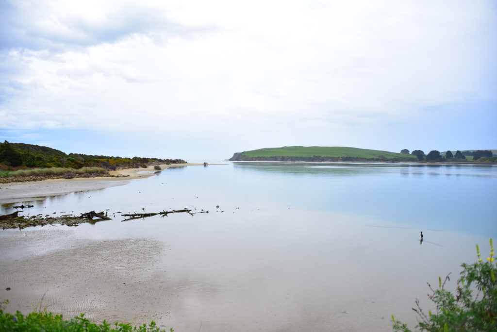
Next stop – The Caitlins on the south coast, passing through Invercargill in pouring rain on the way. We booked a cottage near the beach, the rain had all cleared up so we went for a walk on the beach then into the local town for dinner at the pub.
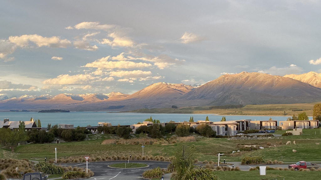
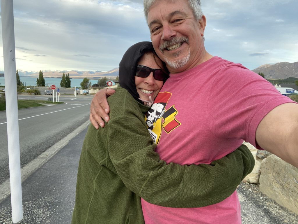
Heading North again now, we drove up the middle of the south island from Dunedin to Lake Tekapo where we stayed in a very nice apartment with some amazing views across the lake. Tekapo is a ‘Dark Sky’ town so there is a great night sky to look at with minimal light pollution.
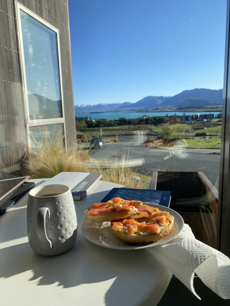
Breakfast can be a bit of a hardship at times…!
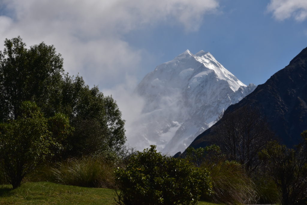
After breakfast we headed south again to visit Mt Cook, highest in NZ. We saw it from the West when we were in Fox Glacier, now we get up close to it from the East. this is where Edmund Hillary trained when preparing for Everest in 1953. There is a great museum at the head of the valley. Once again, we were very lucky with the weather, quite often the mountain is clouded in.
This was the end of the good weather and we made our way home again via Hanmer Springs to Nelson (to visit our favourite Indian restaurant The Indian Cafe) and back to the ferry to the North Island. A total of 4750km (3000 miles) over three weeks.
What a wonderful trip. I had to look up what a Kiwi was because of course I thought it was fruit 😜 The country is beautiful and do enjoying reading about your adventures. You and Linda look very happy ❤️